
Russellville Neighbor Block Sources
No single public roll identifies every person around a Russellville address. The strongest block search begins with land records because parcels have stable map positions. The assessor supplies the assessed owner, mailing destination, situs address, and parcel number. GIS supplies shape and adjacency. Plats explain the legal block, while voter and community material add limited people clues under their own rules.
| Official source | Block evidence | Access route |
|---|---|---|
| GIS and assessor | Surrounding parcels, situs addresses, and assessed owners | County-linked web systems or assessor counter |
| Recorded plats | Lot, block, subdivision, and boundary structure | Pope County Circuit Clerk |
| Voter file | Registered voter address fields, with restricted data withheld | Secretary of State request, not VoterView browsing |
| County-court books | Roads, rights-of-way, districts, and annexations | Pope County Clerk, 1857 to present |
| SOS entity index | Legal association or HOA entity and registered agent | Official business search |
| Community contact | Only contacts a group has chosen to publish | The organization itself |
Owners are not the same as occupants. A parcel card usually misses renters, children, and other adults who do not hold title. A mailing address may belong to an off-site owner, trust, business, or post-office box. Even a matching mailing and situs line only supports an owner-occupancy inference. It does not prove who else lives there.
Define the Russellville Block
Choose a geographic rule before collecting names. A touching-parcel method includes each parcel that shares a boundary with the subject parcel, plus parcels directly across the street. A same-hundred-block method follows street numbers instead. Both are reproducible. A freehand radius is weaker because it may cross a waterway, major road, subdivision edge, or city line and still look like one neighborhood.
Write the rule beside the date of the search. Record parcel IDs and official situs strings before owner names. That keeps repeated surnames or similar street labels from blending together. If the question grows from one block to an entire named road, the Russellville street directory has the full street-by-street record chain.
Note: A radius around an address is a search boundary chosen by the researcher, not an official Russellville neighborhood.
Map Russellville Neighbors by Parcel
The Pope County Assessor links to GeoStor and DataScout OneMap for mapped property research. The official sources do not publish a stable inventory of every live GIS button, so do not promise a buffer export. A reliable method uses basic parcel selection and checks one polygon at a time.
- Search or navigate to the subject address. Confirm that its situs line matches the intended Russellville location.
- Zoom until parcel polygons appear, select the subject tract, and record its parcel ID and legal description.
- Click each polygon sharing an edge and the parcels opposite the street. Record parcel ID and situs before opening owner data.
- Follow the property-record link or search the parcel number in the assessor system. Keep assessed owner and mailing address in separate fields.
- Use a recorded plat when parcel shapes or subdivision labels do not explain the block.
The ARCountyData property search is one assessor-linked route for parcel details.

The captured entry point is a path to tax-roll evidence, not a household directory. Access terms and fields can change by session, and the county does not state a complete historical depth or export limit.
Russellville Neighbor Tax Clues
The parcel card can show owner name, owner mailing address, situs address, legal description, taxing units, acreage, land and improvement values, exemptions, sales references, and a map link where available. These fields identify taxable land and its assessed owner. They do not name all people at that location.
Property-tax status belongs to a different office. The Pope County Tax Collector route can confirm billed, paid, or delinquent status when that fact matters to parcel research.
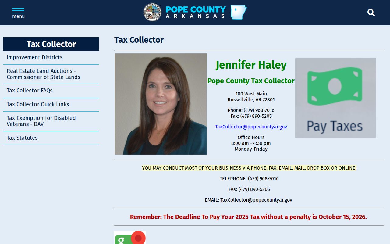
The page should be used for a particular tax account rather than as a source of assumptions about a household. A delinquency says nothing about who occupies the address, and a current payment says nothing about personal relationships among adjacent owners.
- Parcel
- A tract used as a unit in the tax and map systems.
- Situs
- The location assigned to the taxed real estate.
- Mailing address
- The destination for the owner’s tax notice, which may be elsewhere.
- Plat
- A recorded drawing that divides land into lots, blocks, roads, or easements.
Russellville Neighbors and Voter Data
Arkansas VoterView is an individual status, polling-place, and sample-ballot lookup. It requires identifying information such as first name, last name, and date of birth. It cannot browse a Russellville street or reveal everyone on a block. A no-match may reflect input error, pending processing, cancellation, or no record, so it cannot prove that someone moved.
The statewide request process describes voter-registration, vote-history, and combined products. Registration data may include residential or mailing address fields, precinct and district fields, and other released items. Vote history shows elections in which a person participated, never ballot choices. Protected addresses and restricted fields remain withheld. A block analysis must begin with a properly obtained file and follow its terms.
The Arkansas voter-information hub supplies the official registration route and links to VoterView.
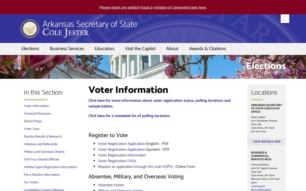
The captured page is the correct starting point for lawful election information. It is not a public neighbor directory, and participation data should never be read as a person’s political choices.
Note: Registration is evidence at one point in time and does not establish current physical occupancy at a Russellville address.
Russellville Association Records
No authoritative City of Russellville umbrella directory or public membership roster was located. That absence should guide the search. A subdivision plat or recorded covenant may reveal an association’s legal name. The Arkansas business entity search may then identify entity status, a registered agent, and a filed address. The agent is a statutory contact, not a list of neighbors.
| Association route | What can be used | What cannot be inferred |
|---|---|---|
| Recorded plat or covenant | Subdivision and association name | Current membership |
| SOS business entity index | Entity status and registered agent | The agent’s residence or member roll |
| Public group contact | A voluntarily posted officer or contact channel | Private roster or household list |
| Church or civic publication | Only contacts released for public use | Consent to republish internal records |
Arkansas Tech, churches, cemetery groups, civic clubs, and other Russellville institutions create useful community layers. Their public contacts can help route an inquiry. Alumni data, congregation lists, and internal membership records are not presumed public merely because the institution is well known locally.
Russellville Block History Records
The present parcel fabric is only one moment. Pope County Clerk county-court books from 1857 forward include roads, rights-of-way, improvement districts, annexations, and county orders. Those records can explain why an older legal block no longer fits a modern street view. The December 2024 Arkansas GIS Office update affecting Russellville Ward 4 shows the same principle in current form: civic boundary layers can change without changing postal delivery.
For older built form, the November 1913 Sanborn atlas contains twelve Russellville sheets. It records footprints, construction, use, and fire or water infrastructure, not resident names. Pair a sheet with current GIS to see how the block changed, then add occupants only from a directory, public census schedule, deed, or other named source. This prevents a building outline from being mistaken for a household record.
The 1930 city ordinance that renamed and numbered streets is another vital bridge. Old sources should be searched under both historic and modern street names, with the legal description used to hold the parcel identity steady.
Russellville Neighbor Source Quality
Official records and commercial neighbor tools answer different questions. County records identify the keeper, field, and date behind a claim. Commercial products may combine stale addresses, unrelated people, and inferred links without showing a clear source. The official route takes more steps, but it lets each claim be tested.
| Source type | Strength | Limit |
|---|---|---|
| Assessor and GIS | Current parcel and assessed-owner evidence | Does not list all occupants |
| Deed and plat | Recorded title and land structure | Often keyed by party or legal description |
| Lawful voter product | Dated registration and district fields | Not every resident; protected fields withheld |
| Commercial compilation | Broad hints from merged sources | Source dates and associations may be unclear |
A county custody list is also not block evidence. The Pope County Sheriff inmate roster changes continuously and concerns booking and custody, not the set of people living around a Russellville address.

The captured roster belongs in a verification trail only when it directly resolves a relevant identity question. Charges are allegations, custody is temporary, and the page must never be used to label a block or nearby household.
Russellville Neighbor Privacy Limits
Some people remain invisible in public block records by design or by the limits of the source. Renters, children, unregistered adults, protected survivors, utility customers, delivery customers, and household relationships are not reliably public parcel data. Arkansas vital certificates have eligibility and identity rules. Adoption and juvenile files are closed, sealed court material is absent from public access, and motor-vehicle personal data has federal protection.
The Arkansas Address Confidentiality Program gives qualified participants a substitute address for use with public agencies. Never try to defeat that protection by linking parcel, voter, court, or commercial clues. If a public record is wrong, contact its custodian. Correcting an assessor, voter, court, licensing, or business record at the source is more reliable than repeating the error elsewhere.
Lawful use. Russellville neighbor records may support civic curiosity, reconnecting, or personal safety awareness. Do not watch, threaten, harass, or intimidate anyone.
The Arkansas Freedom of Information Act can provide nonexempt existing records when a web tool does not. Send a narrow request to the correct custodian and describe the record, place, and date range. An office need not conduct open-ended research about a person, and confidentiality rules still control what may be released.