
Walk a Russellville Street Record
A sound Russellville street directory search begins with one exact address and expands only after the first parcel is verified. The Pope County tax roll can name the assessed owner, but it cannot list each person who lives there. GIS places that parcel beside the next one. The deed record then proves transfers of title. Permit records date work at the site, while voter and directory material may add evidence of an occupant at a set point in time. Keep the source and date beside each name. That simple habit prevents a current tax entry from being mistaken for a full household list.
- Enter the address in a Pope County Assessor linked property system. Copy the parcel number, situs address, owner, mailing address, and legal description.
- Open the linked map and verify the parcel shape. Click the parcels along the same named street rather than assuming that a broad radius is one neighborhood.
- Use the owner and legal description at the Pope County Circuit Clerk. Find the acquisition deed, then note its grantor and recording key.
- Check a lawfully requested voter file only for date-specific registration evidence. Arkansas VoterView is an individual self-lookup, not a street browser.
- For earlier occupants, ask the Pope County Library for Russellville reverse or criss-cross volumes and match the edition date to census, deed, and map evidence.
The working chain is address to parcel to owner to deed to dated occupant evidence. It is short enough to repeat house by house. It also makes uncertainty plain. When one link fails, use the office counter, telephone, email, or a focused Arkansas Freedom of Information Act request for an existing city record instead of filling the gap with a guess.
Search Russellville Streets by Parcel
The Pope County Assessor links CountyService and ARCountyData for assessment and real-estate research. Both routes are vendor systems, so live fields, terms, and coverage can change by session. Search one parcel first. An owner surname may work, but a street number and name are more useful for a by-address project. Once a parcel number appears, it becomes the best exact key for reopening the same tax card and moving between the roll, map, and title record.
| Search control | Input kind | Must use? | Russellville search note |
|---|---|---|---|
| County | Selector | Yes | Choose Pope County in a multi-county system |
| Owner Name | Text | No | Try surname, business, trust, and punctuation variants |
| Property Address | Text | No | Try street number and name, then omit the suffix if needed |
| Parcel Number | Text | No | Use as the exact key once found |
| Legal Description | Text or browse | No | May contain subdivision, lot and block, or metes-and-bounds clues |
| Search / Reset | Buttons | Not applicable | Labels vary with the linked vendor version |
The CountyService assessment entry point shows the first remote route supplied for local parcel work.
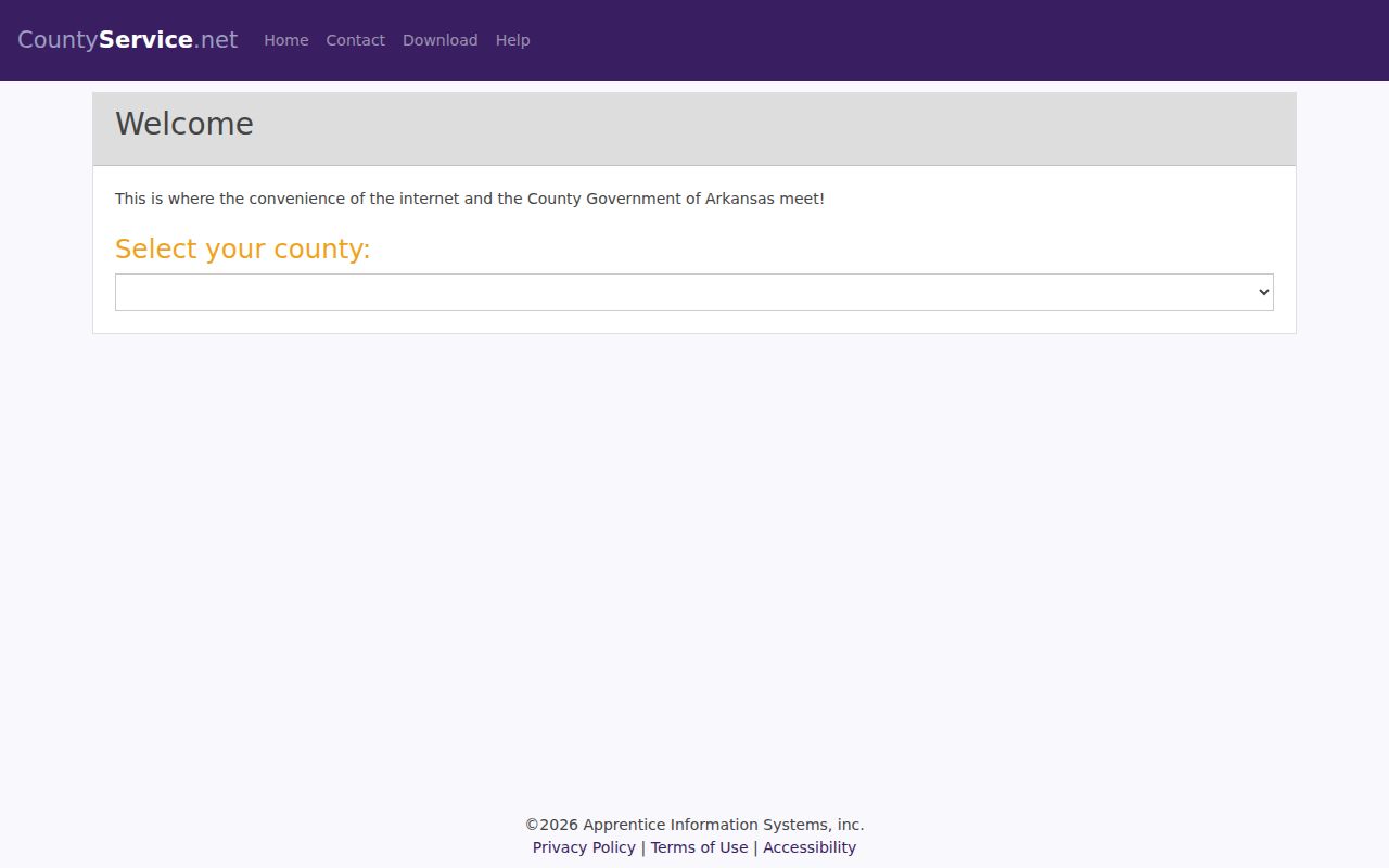
Use the captured entry point as a route, then rely on the current Pope County card and assessor staff when the vendor display conflicts with an office record.
The second assessor-linked option is the Pope County ARCountyData real-estate route.
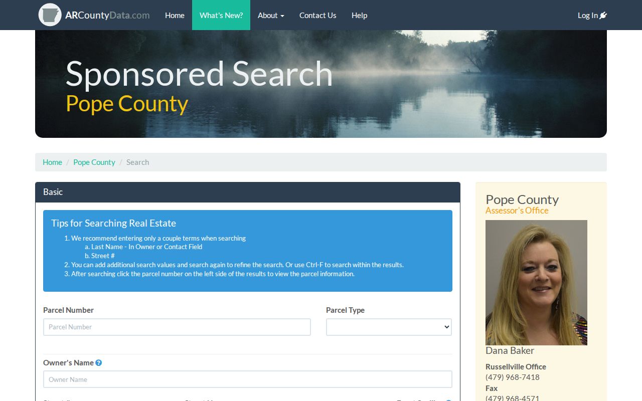
Its broad product menu can help with parcel history, subdivision, lot and block, book and page, or sales clues, but confirm the live Pope County price and session terms before use.
Note: The county warns that linked real-estate and map data are updated at intervals and may not show the newest change.
Russellville Street Address Differences
Three address forms can appear in one Russellville street search. The situs address identifies the taxed land. The owner mailing address tells where the tax notice is sent. The deed may use a legal description instead of the modern street name. A matching situs and mailing address, perhaps with a homestead indicator, can support owner occupancy, but it does not prove it. A mismatch may point to a remote owner, trust, business, or post-office box. It says nothing by itself about who sleeps at the site.
- Parcel
- A county tax and map key assigned to a specific tract of land.
- Situs address
- The street address of the taxed property, which can differ from the owner's mailing address.
- Plat
- A recorded plan that places lots, blocks, streets, and subdivision lines on the ground.
- Criss-cross directory
- A directory arranged by street and house number so an address can lead to the listed subscriber or householder.
This street directory keeps those forms separate. Preserve the exact situs string and full legal description. They can bridge a suffix change, a renamed road, or a deed that never uses the present address.
Russellville Records Arranged by Street
No single public source supplies every Russellville resident by street. The best view joins records that were made for tax, title, elections, permits, address assignment, and historical reference. Each has its own keeper and scope. The coverage table shows the role of each source without treating an owner, voter, applicant, or subscriber as a full household.
| Address evidence | Official keeper | Useful result | Access path |
|---|---|---|---|
| Assessment roll | Pope County Assessor | Owner, mailing and situs addresses, parcel, values | CountyService, ARCountyData, or counter |
| GIS and address assignment | Linked map systems and Pope County 9-1-1 | Parcel setting or validated county address | Map links, web request, phone, or office |
| Deeds, plats, and liens | Pope County Circuit Clerk | Title parties, legal description, recording reference | Index route, telephone, or counter |
| Voter data | Arkansas Secretary of State and County Clerk | Dated registration evidence with protected fields withheld | Written file request, not street browsing in VoterView |
| Permits | Russellville Fire, Building & Safety | Project address, owner, applicant, contractor, and work date | CSS, form, phone, or focused record request |
| Reverse volumes | Pope County Library | Listed person or subscriber by address in an edition | Reference-desk shelf check |
| Released census | NARA and library databases | Enumerated household at a census date | Public schedules through 1950 |
A source can fail online without ending the search. The assessor accepts phone, fax, email, mail, drop box, online, and counter work. The Circuit Clerk has a real-estate line and a courthouse counter. City departments can retrieve a named permit or existing record when given the address, record type, and date span. Those fallback channels are part of the Russellville street directory, not an afterthought.
Walk Russellville Streets in GIS
Map browsing turns one known parcel into a controlled street walk. Locate the address, zoom until parcel polygons appear, select the subject tract, and copy the parcel identifier from its popup. Then click each adjacent polygon one at a time. A parcel across the road may belong in a same-block study, but it is not adjacent in the strict boundary-touching sense. State the rule before collecting names. That keeps the result repeatable and avoids calling a loose radius a neighborhood.
Map layers can show subdivision, ward, flood, zoning, or district context when those controls are present. They do not identify occupants without a linked tax card. The county does not publish a stable inventory of every map tool, so do not promise a buffer export or a ZIP-wide download. The more careful route is map to parcel, parcel to assessor card, and card to deed or plat.
The Pope County 9-1-1 address request is the official web path for a new or disputed county address.
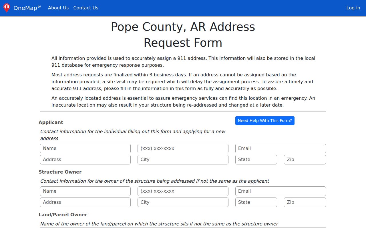
The form concerns address assignment and validation. It is not proof that a named person occupies the site.
Trace Russellville Street Deeds
A recorder index often starts with people, not a street. In Pope County, bridge the modern address to the title system through the parcel card. Copy the current owner and legal description. Search that owner as grantee to find the acquisition deed, then capture the grantor, recording date, instrument number or book and page, and the description. The seller can then be searched as an earlier grantee. Repeating that loop builds the chain backward while the legal description guards against two owners with similar names.
The Pope County deed-search route identifies the Circuit Clerk as the keeper but does not state an online start year.
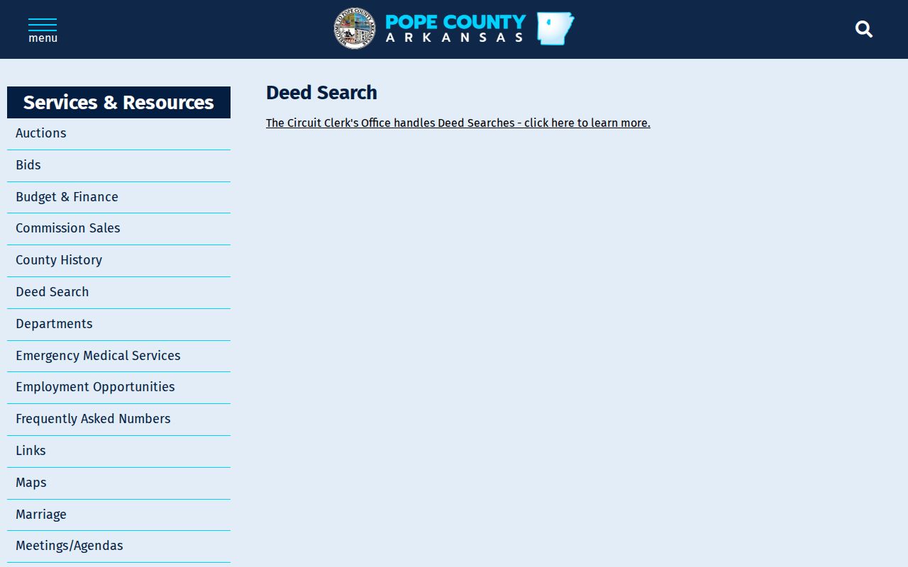
When the web route stops, call the real-estate desk at 479-968-6989 after obtaining the full legal description. Counter indexes, deed books, plats, and copies remain the proper fallback, and current copy or certification charges must come from the clerk.
Note: A deed proves a title event, not the full set of people who occupied the Russellville address on that date.
Russellville Permits by Street
City permit files add a dated event to an address chain. The residential application asks for the 9-1-1 or property address, subdivision, block, lot, parcel, project type, contractor and license, owner, and authorized agent. That is useful evidence of work and the parties tied to it. Yet an applicant or contractor is not necessarily a resident. A permit also cannot show everyone in a home.
The Russellville building-permit page lists CSS, downloadable forms, and telephone access through Fire, Building & Safety.

The range of forms can supply more than construction dates. Electrical, plumbing, demolition, subdivision, rezoning, variance, floodplain, right-of-way, grading, sign, and historic review records may all be keyed to a Russellville address.
The Russellville building permit application shows the fields used to connect a project to land and named parties.
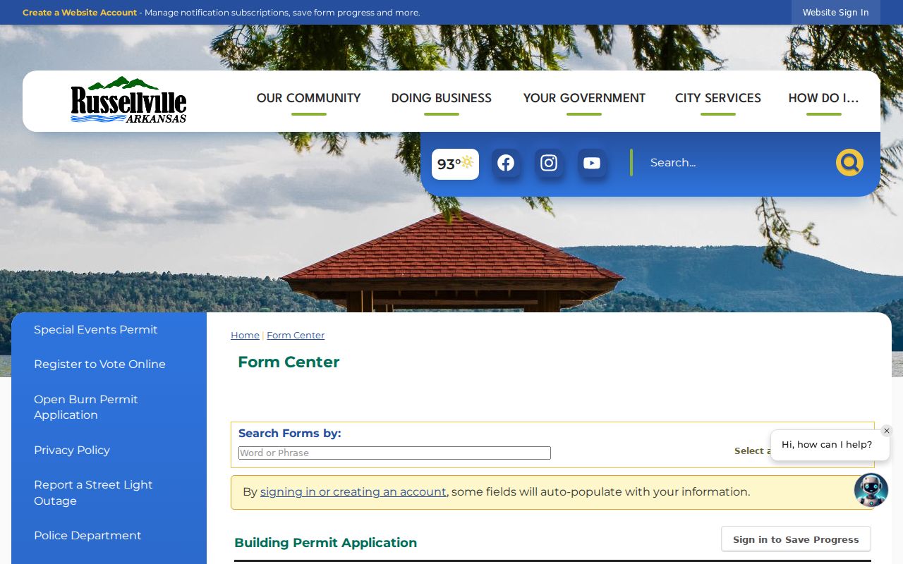
For an older file, give the department one address, a record kind, and a date span. The city has not published an archive cutoff, so a focused phone or records request is safer than assuming the current portal contains the past.
Russellville Street Names Changed
Modern address continuity breaks at Russellville's 1930 renaming and numbering reform. The city survey says Main and Oak became numbering baselines. North-south routes were called avenues and named for cities, with eastern city names east of Arkansas Avenue and western city names to the west. Short ways that did not reach a baseline were called Places. An old directory, deed clue, newspaper item, or map can therefore describe the right tract under a name that no longer appears in a current property search.
Verified changes include Oak Street to North Arkansas Avenue, Russell to West B Street, Torrence to South Boulder Street, Bunker's Row to West C Street, Jefferson to North Commerce Street, River to North Denver Street, and David to West Second Street. Search both names. Then match the parcel by lot, block, subdivision, legal description, and map position rather than forcing the historic house number into a modern index.
County-court books from 1857 can also explain roads, rights-of-way, improvement districts, and annexations. Pope County 9-1-1 validates the current address. Plats bridge named lots to the parcel fabric. Together they make the Russellville street directory work across a break in labels.
Russellville Streets Before Renumbering
The November 1913 Russellville Sanborn atlas supplies 12 digitized sheets from before the 1930 street reform. The map shows street names and widths, lot lines, house or block numbers, building footprints, construction and use, plus water and fire infrastructure. It does not name residents. Pair it with deeds, released census schedules, or a verified directory entry to add people.
Seven Russellville Sanborn editions are verified at the Library of Congress: 1886, 1892, 1897, 1904, 1908, 1913, and 1919. Comparing sheets can reveal whether the same structure existed, whether a use changed, or whether a later street label masks an older grid. This is a geographic layer, not a resident roll.
Note: The 1906 downtown fire changed buildings on West Main and North Commerce, but research does not show that it destroyed courthouse records.
Russellville Voters Are Not Browsable
Arkansas VoterView asks for identifying details to check an individual's status, polling place, districts, and sample ballot. It does not let a visitor browse all registrants on a Russellville street. A lawful statewide data request is a separate process. The Secretary of State describes voter-registration, vote-history, and combined products, with restricted fields and protected addresses withheld. Participation history records elections in which a voter took part, never ballot choices.
Registration is dated evidence, not proof of current physical occupancy. A no-match can arise from input error, pending work, inactive or canceled status, or no record. Contact the Pope County Clerk instead of drawing a conclusion. Historical poll books, voter registers, maps, and returns may be requested by year from the clerk or sought through the Arkansas State Archives.
Russellville Street Directory Shelves
A reverse or criss-cross volume can connect a house number to the person or telephone subscriber printed for that edition. Exact Russellville city-directory years and publishers are not listed in an authoritative online inventory. The practical fallback is the Pope County Library reference desk. Ask for Russellville city and telephone directories, reverse sections, exact inclusive years and gaps, newspaper microfilm, yearbooks, obituary indexes, Sanborn access, and licensed genealogy databases.
The verified Library of Congress telephone material spans October 1955 through November 1963. Its entries can show a subscriber, address, exchange, and telephone number, but should not be treated as every occupant. For full details about edition checks and abbreviation keys, use the Russellville Directory Book research. The street directory uses those volumes only as one dated address layer.
Limits of Russellville Street Records
Public records leave many Russellville residents out. Renters may not appear on the tax roll. Children, unregistered adults, and unlisted telephone users can be absent from a street directory. Utility and delivery accounts are not public household lists. Motor-vehicle addresses are restricted. Arkansas Address Confidentiality Program records protect eligible survivors, while sealed, juvenile, and expunged court material stays outside public search.
Even visible names require context. A tax owner may live elsewhere. A registered agent may use an office address. A permit applicant can act for the owner. A voter record reflects registration at one point in time. Strong street work labels each role, keeps the record date, and looks for support from a second source before describing a person as a past or present occupant.
Lawful use. Use Russellville address records for lawful family, property, civic, or personal research. Never use a street record to stalk, harass, threaten, or expose a protected person.
The honest answer is sometimes unknown. That limit is part of a reliable Russellville street directory, especially when privacy law or a missing shelf run closes the trail.