
Russellville ZIP Delivery Areas
Four codes appear under Russellville in USPS routing material, but they do not all describe residential territory. The two street-delivery areas cover central, northern, southern, and eastern Russellville along with nearby Pope County routes. The remaining codes need a different reading. One is tied to post-office boxes, while the current role of the reported special code must be checked in the live postal tool. That distinction is the starting point for a sound Russellville ZIP code directory.
| ZIP | Russellville area served | Postal route | Research note |
|---|---|---|---|
| 72801 | Central and northern Russellville plus surrounding delivery territory | Russellville street routes | Check city-limit overlap one address at a time |
| 72802 | Southern and eastern Russellville plus rural Pope County routes | Russellville street routes | Includes Pope County government addresses |
| 72811 | Post-office boxes, not a residential polygon | Russellville box service | Do not treat it as a neighborhood |
| 72812 | Reported special or unique mailing use | Verify live with USPS | Exact current assignment was not exposed in official crawlable results |
Postal codes route mail. They do not establish residence, ownership, ward, precinct, or school district. An archived USPS scheme pairs 72801 with 72811 and 72802 with 72812, yet that pairing does not turn the box or special codes into places where households can be plotted. Treat 72801 and 72802 as broad search zones, then verify each address through the correct public source.
Find Russellville Residents by ZIP
Begin with a specific mailing address. The county has not documented a public, unrestricted ZIP-wide owner export, so the safe workflow moves from postal confirmation to parcel evidence. The assessor connects a situs address, meaning the address of the taxed land, to an assessed owner and parcel. GIS then shows the parcel in relation to nearby tracts. A voter product is a separate source with separate access rules.
- Enter the complete address in the official USPS lookup and record the returned five-digit code.
- Search the Pope County-linked property systems by the street address. Capture the parcel number, situs address, owner mailing address, and legal description.
- Use the linked GIS route to test whether the parcel lies within Russellville, a ward, precinct, school district, or another mapped area.
- For voter research, use the Secretary of State request instructions for a lawful VR or VRVH product. VoterView is only an identifying-information self-lookup.
- Once the postal area narrows to a named road, use the Russellville street directory for address-level work.
The USPS ZIP Code Lookup is the official place to validate the postal part of that sequence.
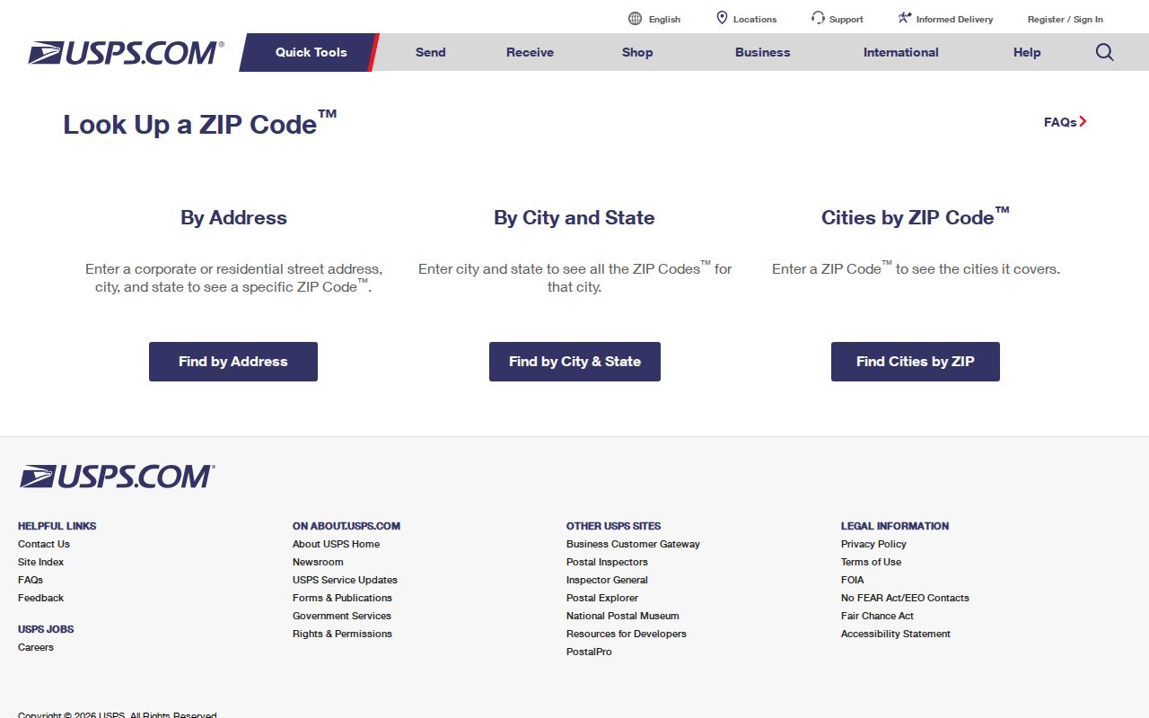
The screen represents the mailing check, not a search for every person or parcel in the returned area. Keep the exact address with the result so later sources can be matched without guessing.
Note: A Russellville city name on mail is useful routing evidence, but it is not proof that the parcel lies inside municipal limits.
Russellville Address Records Differ
USPS, Pope County 9-1-1, the assessor, and the Circuit Clerk each answer a different address question. USPS supplies the delivery route. Pope County 9-1-1 assigns or validates a dispatchable address. The assessor ties a situs address to taxable land and sends notices to an owner mailing address. A deed identifies the land through a legal description, which may use subdivision lot and block or metes-and-bounds calls rather than a modern street line.
- ZIP+4
- An added four digits that narrow mail delivery below the five-digit zone.
- PO-box ZIP
- A code used for boxes at a postal facility rather than a mapped residential area.
- Unique ZIP
- A code reserved for a high-volume recipient or special postal use.
- Carrier route
- A delivery path within a postal area, not a municipal district.
- Situs address
- The physical address attached to the taxed parcel.
A mailing address can point to a post-office box or another place where an owner receives tax mail. A situs and mailing match may support owner occupancy, but it does not prove it. Renters and other adults usually do not appear on a parcel card. The Russellville ZIP code directory therefore keeps postal, tax, and title identifiers in separate columns when notes are collected.
Russellville ZIP Parcel Checks
The Pope County Assessor links route remote users to CountyService, ARCountyData, and GeoStor. Live vendor fields and access terms can change by session. County is the required selector in a multi-county search. Owner name, property address, parcel number, and legal description are the documented search paths. No county source confirms a stable ZIP field or a full-area export, so a search should never promise one.
| Property field | Use in Russellville ZIP research |
|---|---|
| County | Select Pope County before entering another key |
| Property Address | Test the USPS-confirmed street line against the situs record |
| Parcel Number | Carry the exact tax key from the result into GIS |
| Owner Name | Check surname, business, trust, and punctuation variants |
| Legal Description | Preserve subdivision, lot, block, or tract wording for deed work |
The official assessor page also supplies phone, fax, email, mail, drop-box, and courthouse service routes when a vendor search fails.
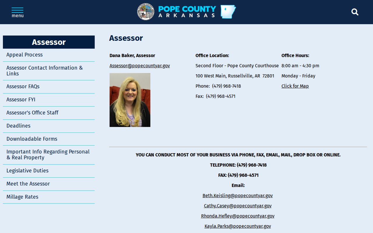
The captured page reinforces that the assessor, not a postal map, controls the current tax roll. Ask the office about a particular parcel and avoid claiming historical depth that the county has not published.
Russellville 72811 Box Records
72811 is associated with Russellville post-office boxes. It should not be shaded like a residential neighborhood or used as a shortcut to identify nearby residents. A box reveals where mail is received, not where a person lives. The same caution applies to an owner mailing address on a tax card. It can be a useful contact clue while remaining distinct from the property’s situs.
When 72811 appears in an assessor result, preserve both address fields. Then test the situs parcel in GIS. If a deed is needed, carry the parcel’s legal description and current owner to the Pope County deed-search route. The Circuit Clerk’s official landing page does not state an online coverage cutoff, so older title work may require a counter or phone request.
Note: A PO-box code can group many unrelated recipients and cannot define a Russellville block, ward, or residential boundary.
Verify Russellville 72812 Live
Official routing material lists 72812 under Russellville, and an archived USPS scheme pairs it with 72802. The research did not locate a crawlable current USPS result that identifies the exact institution, station, or status. That gap matters. A special or unique code can serve a high-volume entity without defining any ordinary household area.
Use the live USPS address tool before recording 72812 in a resident trail. Save the full address and date of the lookup. If the address concerns land, check the assessor’s situs field next. If it concerns municipal status, consult official boundary data. This restrained method keeps an uncertain postal classification from becoming an unsupported claim about Russellville residents.
Russellville Ward 4 Changed
Postal and civic geography change on separate tracks. The Arkansas GIS Office update dated December 13, 2024, records Russellville Ordinance 2493 as an election-related change affecting Ward 4. No ZIP change is part of that finding. It is a strong local example of why a mailing code cannot stand in for a current ward or city boundary.
The update should be read as boundary evidence for the date published. A later search still needs the current official layer, especially when an address lies near a line. County-court books held by the County Clerk add the historical side: records from 1857 include annexations, rights-of-way, and improvement districts that may explain older jurisdiction shifts.
Boundary check. Match the address to the current GIS layer before assigning a Russellville ward, precinct, taxing unit, or school district.
Russellville Streets Before ZIPs
Older Russellville sources predate modern postal codes and may use street names that no longer exist. The city and Arkansas Historic Preservation Program survey documents a 1930 ordinance that renamed streets and numbered streets and houses. Main and Oak became numbering baselines. North-south roads were called avenues and named for cities, split east and west of Arkansas Avenue.
Verified conversions include Oak Street to North Arkansas Avenue, Russell to West B Street, Torrence to South Boulder Street, Bunker’s Row to West C Street, Jefferson to North Commerce Street, River to North Denver Street, and David to West Second Street. Search both forms. The legal description is the bridge when the visible street label changes.
The Census Bureau summary-file resource explains how census geography and data products differ from postal routing.
The census view belongs beside, not in place of, USPS and county records. It can add population context to a broad area, while a person or parcel claim still needs an address-keyed record.
Russellville ZIPs Versus City Limits
Russellville postal delivery extends beyond the legal city. That mismatch affects nearly every ZIP-based search. A result tied to 72801 or 72802 may belong to surrounding Pope County territory, while an address near a city line may sit in a different ward, precinct, taxing unit, or school district than the postal name implies. Verify the exact parcel instead of drawing a broad boundary from the code.
Pope County 9-1-1 is the authority for a new or disputed dispatchable county address and publishes a DataScout request form. USPS controls mail routing. The assessor controls the tax parcel, and the Circuit Clerk controls recorded title instruments. Those sources may all describe the same place in different terms. A reliable Russellville ZIP code directory records the difference rather than forcing them into one label.
For voter status, Arkansas VoterView requires first name, last name, date of birth, and sometimes county. It is not a surname or street browser. A properly requested statewide voter product may contain address and district fields, with protected data withheld, but it must be used under the official instructions and never to harass anyone.